
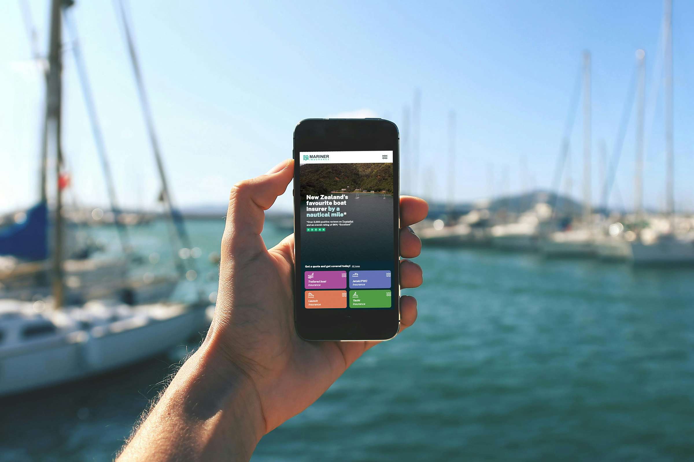
Must have boating apps for Kiwi boaties
The right boating apps can log a trip with Coastguard, show you what the wind will do at 2pm and sound an alarm if your anchor lets go. They still aren't a substitute for a VHF radio and good seamanship, and Maritime NZ says apps shouldn't be used for navigation or as your only way of calling for help.
Here are the apps that suit New Zealand boating, grouped by what you need them for. Where an app needs a subscription or only covers part of the country, we've said so.
Safety and trip reporting
Coastguard is the one to load first. You can log a trip so Coastguard knows where you're going and when you'll be back, check forecasts and tides, and see live wind conditions at nearby stations. You need an NZ-based App Store or Google Play account to download it. Bar crossing reports can't be made through the app and need to go through VHF or *500.
If you're new to trip reports, our guide to why a float plan is essential covers the basics.
MarineMate puts tide times, boat ramp locations, VHF channels, marine reserves and local boating rules into one free app, along with a safety checklist. The information is stored on your phone, so it keeps working out of coverage as long as you've updated it beforehand.
Weather and tides
MetService Marine shows rain radar, surface pressure charts, tide information, sunrise and sunset times and severe weather warnings. Maritime NZ lists it alongside MarineMate and Coastguard.
SwellMap Boat has forecasts for more than 300 boating and fishing locations around the country. It covers sea height, chop, wind, tides and sea temperature, and you can set alerts for when conditions match what you're after. It's free with ads, with a paid ad-free option.
PredictWind combines several forecast models with its own and adds weather routing and departure planning. It suits both yachts and powerboats. Free forecasts are available and the more advanced tools sit behind a subscription.
Windy is the app to open when you want to watch the weather move. Its animated maps show wind, waves, swell, tides and currents, and you can compare forecast models side by side. There's a paid tier for extras.
Navigation and charts
Treat these as a backup to your chart plotter and paper charts.
Navionics covers Australia and New Zealand through an annual chart subscription with Garmin. The charts can be used offline and the app works from your phone's GPS, which makes it a sound backup to a plotter.
Savvy Navvy plans routes that take account of tides and wind, and lets you set a departure time. In January 2026 it signed a distributor to sell subscriptions through dealers in Australia and New Zealand, so check its coverage map for your area before you subscribe.
MarineTraffic shows the live position of vessels that transmit AIS, which helps when you're sharing a busy harbour with commercial traffic. The free version relies on coastal receivers, and satellite coverage further out costs extra.
Anchoring
Anchor Alarm Pro is an anchor watch app. According to its developer, it's free to use with no account, and it runs on iPhone, iPad, Android and in a web browser. It sounds an alarm and sends a push notification if the boat leaves the zone you set, and a second phone or a laptop ashore can keep watch through a QR code. It can use your phone's GPS or an external source such as a chartplotter.
The developer describes it as one layer of safety rather than a replacement for a proper anchor watch, which is the right way to treat any anchor alarm.
Local knowledge
BoatiesNZ is a pocket reference with tides, weather, VHF channels, boat ramps, fuel, fishing information and a directory of marine services.
Cruise Guide for Marlborough is a free regional guide to the Marlborough Sounds. It covers bays, anchorages, marinas, moorings and boat ramps, with offline maps and more than 60 tide locations. It isn't a substitute for official charts.
Fishing and knots
The NZ Fishing Rules app from MPI has size limits, daily limits and temporary closures, and can identify a species from a photo. It works offline once it has been downloaded.
A knot app earns its place on any boat. Animated Knots by Grog has more than 195 knots with step-by-step animations, including boating and sailing knots and fishing knots, and it doesn't need an internet connection.
Which boating apps suit your boat
If you're not sure where to start, this is a sensible short list for each type of boat.
- Trailer boat. Coastguard, MarineMate for ramps and local rules, and SwellMap Boat for sea state and chop.
- Yacht or sailboat. PredictWind or Windy for forecasts, Navionics or Savvy Navvy as a chart backup, and Anchor Alarm Pro for overnight anchoring.
- Jet ski. Coastguard for trip reports, MetService Marine for radar and warnings, and MarineMate for local rules and ramps.
- Launch or powerboat. Coastguard, SwellMap Boat or Windy for conditions, and MarineTraffic in busy harbours.
What works without mobile coverage
Coverage can drop out well before you're back at the ramp, so load your apps before you leave. MarineMate is built to work without a signal once it has been updated. The NZ Fishing Rules app works offline once downloaded, and so do Navionics charts and the Cruise Guide maps. PredictWind's Offshore app lets you view forecasts you've already downloaded.
A phone is only one form of communication. Coastguard recommends carrying two forms of waterproof communication, such as a phone and a charged VHF radio. For remote trips, our guide to EPIRBs vs PLBs explains which beacon suits you, and a well-packed marine safety grab bag keeps your gear together.
Sources: Maritime NZ, Coastguard, MarineMate, SwellMap, PredictWind, Windy, Garmin, Savvy Navvy, Anchor Alarm Pro, BoatiesNZ, Marlborough Marinas, MPI